At 68 degrees north on the Coronation Gulf, a proposed deep-water port and 230-kilometre all-weather road aim to connect the Kitikmeot region of Nunavut to southern Canada's highway network for the first time.
Explore the Project Where is Grays Bay?On March 12, 2026, Prime Minister Mark Carney announced a $35-billion investment plan for Arctic defence and northern infrastructure. The Grays Bay Road and Port Project was referred to the Major Projects Office for expedited review, alongside the Mackenzie Valley Highway and Taltson Hydro Expansion. Days later, ATCO Ltd. announced a $10-million investment in West Kitikmeot Resources for a 40% stake in the project. Read the full timeline →
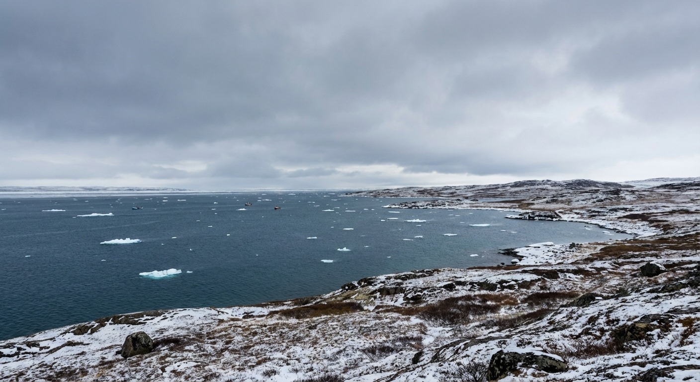
Grays Bay is a small inlet on the southern shore of the Coronation Gulf, part of the Arctic Ocean in Canada's Nunavut territory. Located at approximately 68.5 degrees north latitude and 111.8 degrees west longitude, it sits on the mainland coast roughly 150 kilometres southeast of Kugluktuk, the nearest permanent community.
The bay itself is geographically unremarkable. It is what lies inland, and what the bay represents as a coastal access point, that makes it significant. Grays Bay has been identified as the optimal location for a deep-water port that would become the first such facility on Canada's Western Arctic coast, providing year-round road access to some of the richest undeveloped critical mineral deposits on the planet.
Learn About the Geography →The Grays Bay Road and Port Project intersects geography, economics, Indigenous self-determination, environmental protection, and Arctic geopolitics. Explore each dimension.
A 230-km all-weather road and deep-water port on the Coronation Gulf. Engineering, costs, regulatory process, and the entities driving it forward.
Road & Port Details →The Kitikmeot region holds world-class copper, zinc, and gold deposits. Izok Lake alone contains 15 million tonnes grading 13% zinc. The road unlocks it all.
Mineral Resources →Coronation Gulf, the Kitikmeot region, Kugluktuk, Cambridge Bay, and the vast tundra landscape of western Nunavut. Geography that defines what is possible.
Explore the Region →The Northwest Passage, seasonal shipping windows, and why Grays Bay would become the first deep-water port in Canada's Western Arctic.
Shipping Routes →Canadian Arctic sovereignty claims, Russian and Chinese interest in northern resources, and how infrastructure reinforces territorial presence.
Geopolitics →Caribou migration, permafrost disruption, marine ecosystems, and the environmental review process. The tension between development and protection.
Environmental Context →GraysBay.ca is not a government site, not a corporate promotion, and not a tourism portal. It is an independent informational resource built to provide factual, research-driven coverage of Grays Bay, the proposed road and port project, and the broader Arctic context in which this infrastructure would exist. We cover both the potential benefits and the legitimate concerns.
About This Site →